
Hiking Trails
Hiking in Albania in 2027 — the famous Theth–Valbonë crossing, the Blue Eye and Llogara trails, and quiet routes in the Accursed Mountains.
The headline hike is the Theth–Valbonë crossing in the Accursed Mountains (Bjeshkët e Nemuna) — a full day over a high pass between two glacial valleys, doable without technical skill but with real altitude. The usual window is roughly mid-June to early October 2027; outside it the pass holds snow. Most people walk it as part of the Shkodër–Koman ferry–Valbonë–Theth loop and sleep in guesthouses at each end.
Beyond the classic, the south has gentler options: the Llogara pass ridge walks with Riviera views, the short path to the Blue Eye (Syri i Kaltër) spring, and coastal hikes down to hidden beaches like Gjipe. Spring and autumn are best for the lowland and coastal trails; the high mountains are strictly summer.
The trail cards below lead with the best-rated routes and already carry distance, duration and difficulty — open one before you go, and don't underestimate the mountain roads getting to the trailhead.
Showing the best-rated results. Filter by destination above for the full list of a town.
 Krujë5.0
High Scardus Trail
The High Scardus Trail is part of a much larger high-altitude network threading through the Sharr, Korab and Deshat massifs across Kosovo, Albania and North Macedonia — this particular access point is logged here in inland Albania near Krujë. Early visitors have been unanimous: a perfect five-star average, even if the sample is still tiny at just two reviews, with one walker singling out the variety of activities on offer along the route. Go prepared for multi-day, high-altitude terrain rather than a short loop, and stick to the May–October window when the passes are clear.
 Shkodër5.0
Ruga e Kronit mas Kodre
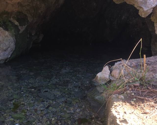
Ruga e Kronit mas Kodre leads to a natural spring that rises straight out of the mountainside near Kolaj, outside Shkodër — for generations it was the water source the whole area relied on, and older women in the village still recall gathering there to wash clothes by hand. The two reviews on record both give it a perfect five, modest numbers but a genuine local sentiment rather than tourist hype. It's an easy, short walk rather than a trek, well suited to a quiet morning outing, and comfortable underfoot from May to October.
 Shëngjin4.8
Hazelnut path (SH-MR-004)
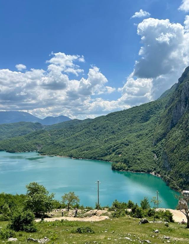
Marked SH-MR-004, the Hazelnut Path runs inland from Shëngjin through the orchard country that gives Lezhë county its name in the local hazelnut trade, with the Adriatic flattening out behind you as the ground rises gently toward the hills. It has picked up a striking 4.8 rating from close to 800 Google reviewers, a volume that suggests it's become a genuine local favourite rather than an obscure back road. The walking is unhurried and shaded for long stretches, best tackled May through October before coastal heat and later rains make the track less forgiving.
 Shkodër4.8
Rruga e Shkalles
Rruga e Shkalles is as much a hiker's logistics stop as it is a walking route: reviewers overwhelmingly mention the self-service lockers here, where a QR code and a card payment get you a canister of camping gas or a spot to stash luggage before pushing on toward Theth or setting out on the Peaks of the Balkans trek. There's no staff, just a short walk from Shkodër's bus station and a locker that opens in under a minute. With a 4.8 rating across 98 reviews, it has become something of a fixture for hikers passing through — graded easy because the effort here is logistical, not physical.
 Himarë4.4
Himare Pilur
Reviewers who've made the climb up from Pilur keep returning to the same details: at least eleven Cold War bunkers scattered along the way, a genuinely rocky stretch where proper shoes matter, and a final kilometre on foot after the car gives out at the last houses in the village, ending with the option to swim once you reach the water. One walker mentions a locked gate blocking access on a recent visit, so it's worth checking conditions locally before setting out — but with a 4.4 rating from 20 reviews, the consensus leans strongly toward calm, quiet, and a scramble worth the stony final stretch.
 Valbonë
Curraj i Eperm - Qerec
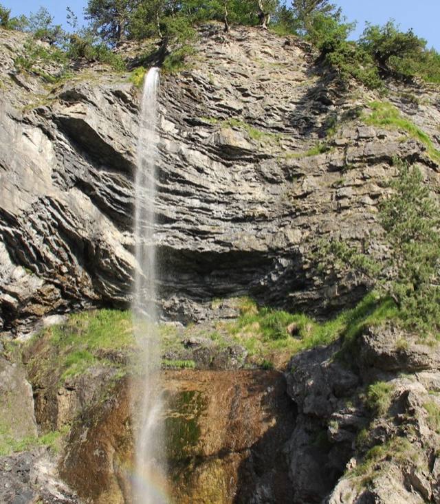
The path between Curraj i Epërm and Qerec links two of the half-abandoned highland hamlets scattered above Valbonë, in the heart of the Albanian Alps' national park. Stone houses with slate roofs, many now used only in summer by families who return to graze livestock, punctuate a route that climbs through beech forest before opening onto bare ridgeline. There's no crowd here and no facilities either, so carry water and expect a full day's effort. Snowmelt and reliable trail conditions generally hold from May into October.
 Berat
Maja e Partizanit
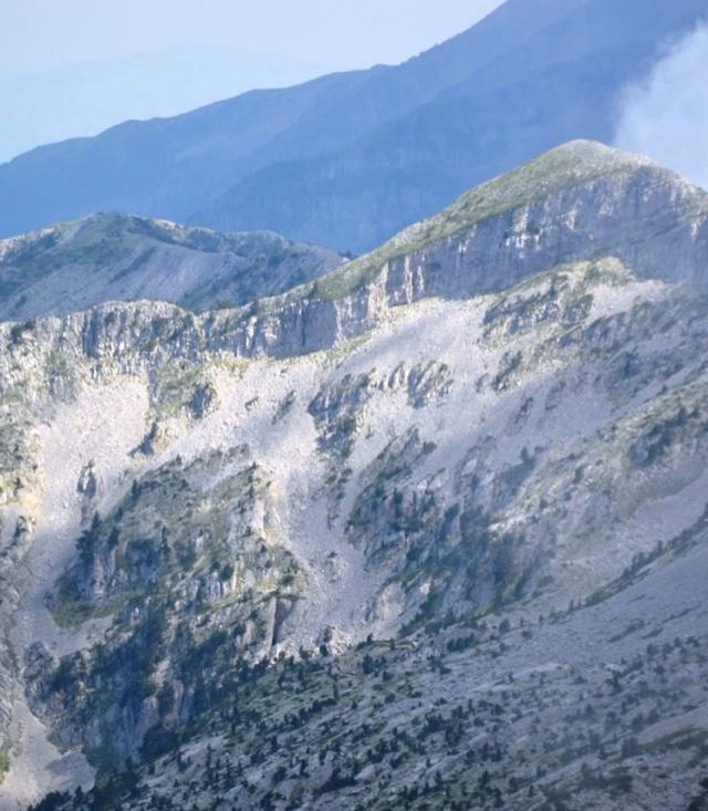
Maja e Partizanit climbs one of the ridges above Berat, the town whose stacked white Ottoman houses earned it the name City of a Thousand Windows, and the summit — named for the wartime partisans who once held ground up here — looks straight down over the castle and the Osum river gorge. It's a marked route rather than a technical climb, popular with people staying in Berat's old town who want a half-day away from the museums and stone streets. Go May through October, when the path is dry and the views aren't fogged in.
 Gjirokastër
Around Langarica Canyon
The route threads the limestone gorge carved by a Vjosë tributary near Benja, looping past the hot springs where locals soak year-round and the humpbacked Ottoman bridge that has spanned the canyon for centuries. Base camp is Gjirokastër's stone old town, roughly forty minutes by car, but the trailhead feels like a different Albania — pine-shaded, sulphur-scented, quiet outside August. Moderate footing over rock and gravel suits fit walkers rather than technical climbers, and the May-to-October window avoids winter flooding in the ravine.
 Valbonë
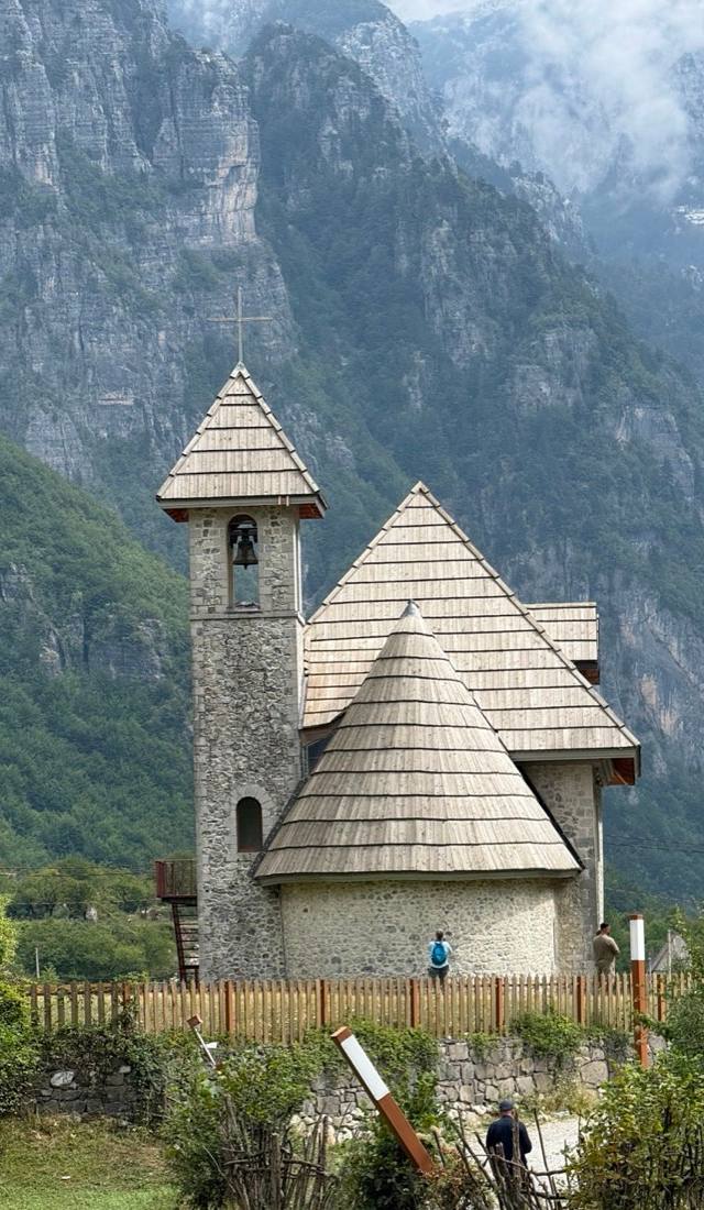
Theth-Curraj marked trail extension towards Maja e Boshit
This waymarked spur breaks off the main Theth–Curraj traverse and climbs into the limestone folds below Maja e Boshit, one of the sharper peaks ringing the Valbona valley. Markers stay legible even where the path narrows to a shepherd's track, but the elevation gain adds up fast, so most walkers treat it as a full day from Valbonë rather than a quick add-on. Snow can linger in the gullies into early June, making June–September the safer window. Carry more water than seems necessary — there's no spring once you leave the valley floor.
 Valbonë
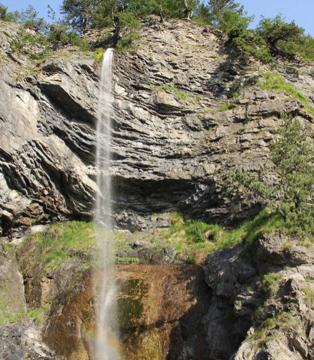
Curraj i Eperm water spring - Querec Mulaj
Tucked deep in the Nikaj-Mërtur highlands near Valbonë, the Curraj i Epërm water spring rewards only those willing to walk for it — the village sits at the end of a long, rough track through some of Albania's most isolated mountain country. The spring runs cold and clear year-round, a reliable stop for hikers crossing this semi-abandoned corner of the Accursed Mountains. Expect near-total silence, stone houses slowly returning to the landscape, and scenery that feels centuries removed from the coast. Come prepared: no shops, no signal, and the last stretch is best done on foot or by 4x4.
 Shëngjin
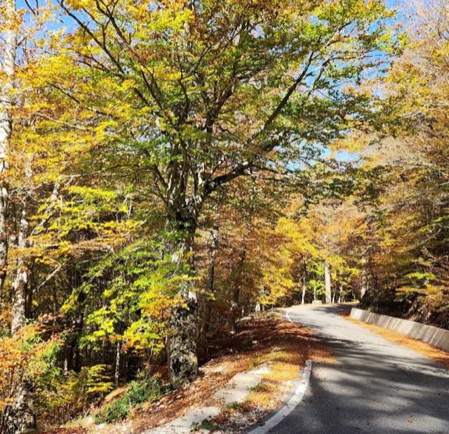
Infokullë – Qafë Munaz- Bërshemi (SH-MR-009)
SH-MR-009 starts at the information tower on the edge of Shëngjin's hill country and crosses Qafë Munaz before dropping to the farming village of Bërshemi — a route built for orientation more than adrenaline. The pass itself is the high point, literally and otherwise, opening a view back to the Adriatic that few associate with a Shëngjin holiday. As part of a numbered regional network, junctions are signed clearly enough that a paper map or offline GPS track is all you need. It's an easy half-day for anyone on the coast wanting a change from the beach.
 Gjirokastër
Hiking trail Leskovik-Postenan
The walk from Leskovik toward Postenan crosses some of the emptiest hill country behind Gjirokastër, territory most visitors to the Ottoman old town never think to look at. Stone-roofed hamlets sit hours apart, water sources dry up outside spring, and the path itself is closer to an old shepherd track than a maintained trail — expect a long day rather than an afternoon stroll. As with most routes in this pocket of inland Albania, May through October is the realistic window before weather closes the higher ground.
 Krujë
(SH-MR-011)
SH-MR-011 climbs the hillside above Krujë, the same slope the cable car uses to carry visitors to the Sari Salltik shrine, except on foot and mostly to yourself. Below, the castle and bazaar shrink toward the plain reaching to Tirana, and on a clear day the Adriatic shows as a pale line beyond the coastal hills. It's one of the region's marked routes rather than a signature trek — no facilities along the way, so carry water and expect a direct, exposed climb best tackled May to October.
 Valbonë
Curraj i Eperm - Lumi e Plans (Shpella Lumit)
This is the Lumi i Plans route with a detour built in — the same moderate riverside walk out of Curraj i Epërm, extended to take in Shpella e Lumit, the cave carved where the river runs underground for a stretch. It's an easy addition in effort, mostly flat riverbank walking, though the cave mouth can be slick and is worth a headlamp if you plan to go in rather than just look. Between the water sound, the cave, and the stone hamlets on the way, it packs more variety into a moderate outing than most trails around Valbonë manage.
 Dhërmi
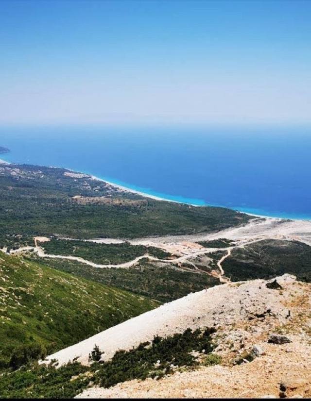
Llogara - Pilur
This descent runs from the Llogara Pass, where the road first reveals the whole sweep of the Ionian coast, down through pine forest to the village of Pilur above Dhërmi, dropping in altitude far faster than it covers distance. It's graded moderate mainly because of that descent, which is steady on the knees and needs decent footwear rather than technical skill, and the payoff is a shifting view: alpine pine giving way to olive terraces and, eventually, the sea. Walk it May to October and start early, since the lower stretches near Pilur can get warm once the sun clears the ridge.
 Vermosh
Via Dinarica
Vermosh sits at Albania's northern tip, in the Kelmend highlands where the Accursed Mountains meet Montenegro, and this stretch of the long-distance Via Dinarica corridor threads out from the village through the Ropojana valley toward the Prokletije range. It's one leg of a trail system that runs the length of the Balkans, so most walkers here are through-hikers rather than day-trippers. Expect remote terrain and little signage once you're past the last farmhouses.
 Krujë
Peshkopi - Radomirë
The walk from Peshkopi to Radomirë climbs through the scrubby hill country behind Krujë, well away from the tour buses queuing for Skanderbeg's castle. Oak coppice gives way to terraced smallholdings and the odd stone hut, with sightlines back toward the Adriatic plain on clear days. Rated moderate rather than easy, it rewards sturdy shoes over sandals — expect loose gravel on the descents. May through October is the reliable window; outside that, snow and mud can make the route unpredictable.
 Korçë
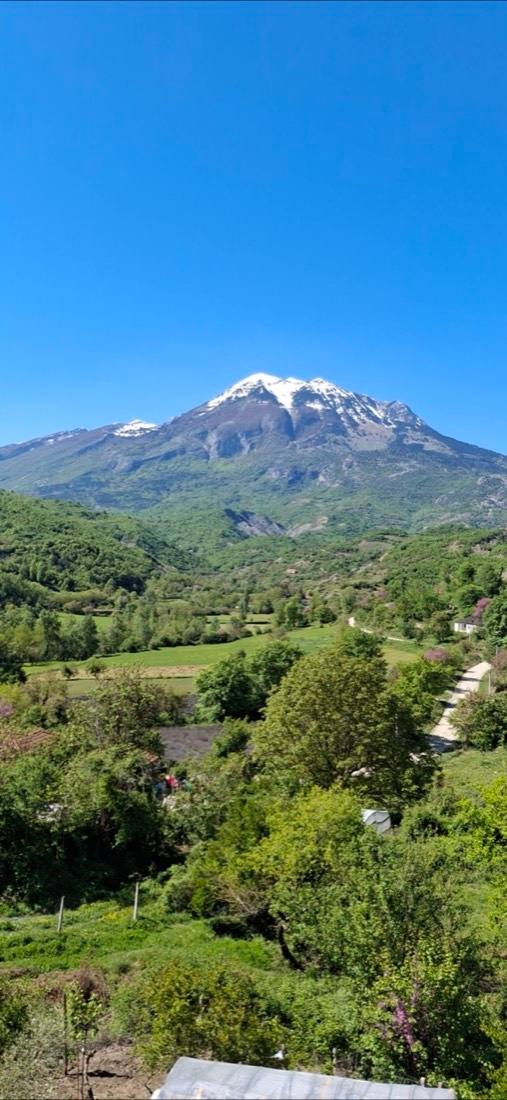
Gramousta Gramos Petsik Aetomilitsa Trail
Few Albanian trails cross an international border as directly as this one: it climbs out of the Korçë highlands toward Mount Gramos and continues into Greece to the village of Aetomilitsa, linking the hamlets of Gramoustë and Petsik. The crossing means long stretches with no villages, shops or phone signal, so this is a full trekking day rather than an afternoon stroll, best planned for May–October, when the high passes stay clear of snow. Waymarking is sparser than on Albania's better-known routes, so a GPS track or a local guide is worth arranging in advance.
 Krujë
Only Geocaching path to GC9F8QF in the cave
This isn't an official hiking route — it's the informal scramble that geocachers use to reach cache GC9F8QF, tucked inside a cave in the hills above Krujë's castle and bazaar. Expect an unmarked, sometimes overgrown approach rather than signage, and a short scramble at the cave mouth itself. It's a niche pick, really only worth the detour if you're actively hunting the cache rather than just passing through Krujë for Skanderbeg's castle.
 Theth
3
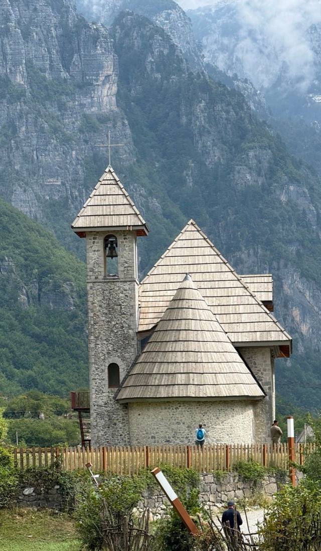
Simply labelled "3," this is one of the numbered routes in the Theth trail network laid out for the national park, the kind of path locals and rangers refer to by number rather than name when giving directions to visitors staying in the valley. Without an assigned difficulty rating it's best approached as moderate by default, threading through the same mix of pasture, stream crossings and limestone scenery that defines walking around Theth. Stick to May through October, and pick up a park map before setting out, since numbered trails like this one aren't always the ones foreign hikers hear about first.
 Borsh
Hiking trail Nivica-Senica
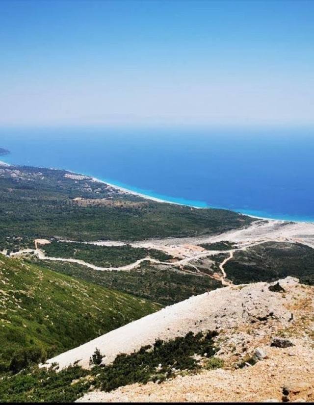
This route leaves the beach world of Borsh behind almost immediately, climbing inland into the limestone country around Nivica, where the landscape shifts from Riviera coastline to canyon and karst within a couple of hours' walk. Senicë, the smaller settlement at the far end, feels a world apart from the coastal resorts — quieter, higher, noticeably cooler once you're up among the rock. It's not a technical trail, but the gain is real and shade thins out past the lower olive groves, so summer walkers do well to start at first light.
 Valbonë
Zla Kolata
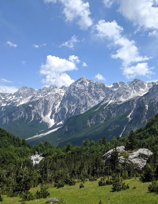
Zla Kolata is one of the highest summits in the Accursed Mountains, straddling the Albania–Montenegro border above Valbonë, and reaching it is a proper alpine day rather than a walk. Loose rock and exposed sections near the top mean it's for hikers who already have scrambling experience, ideally with a local guide who knows the border terrain. The payoff is a summit view that takes in Montenegro's Prokletije peaks as well as Albania's.
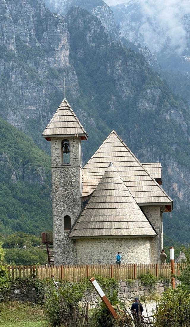 Theth
Red 2a (Hardedaj - Nenreth - Theth)
Red paint blazes carry the route from Hardedaj, through Nenreth, into Theth on one of the quieter waymarked paths in the area — old shepherd tracks strung between hamlets, past stone kulla towers and open pasture, well clear of the crowds that build on the main Valbonë crossing. Snow only clears the higher ground by May and returns after October, so the clean walking window matches the months shepherds spend moving flocks up to summer grazing. Carry a map; markings thin out past the second hamlet.
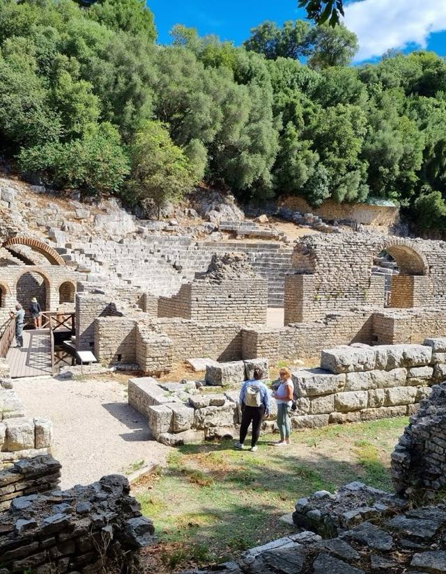 Vlorë
Marmiroi Church-Brisan Bay-Dukgjoni Cave Trail (option 2)
This second waymarked variant links the same three landmarks as the main Marmiroi route — the whitewashed chapel above the coast, the pebble curve of Brisan Bay, and the sea cave at Dukgjoni — but takes a different line, favoring the coastal shelf over the inland shortcut. It stays close enough to the water that you'll hear the sea most of the way, and the cave at the end makes a natural swimming stop if the tide cooperates. Hugging the Riviera cliffs near Vlorë means real sun and wind exposure, so an early start beats the midday heat.
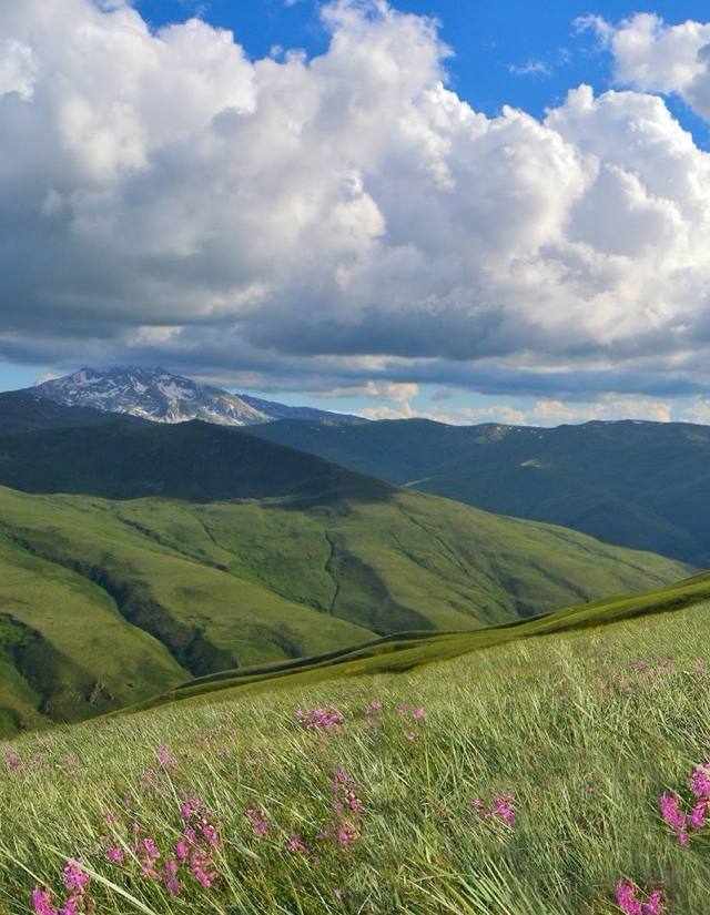 Krujë
Radomirë - Shishtavec
This is a lesser-known link in the hill country behind Krujë, connecting the settlements of Radomirë and Shishtavec along tracks that see far more shepherds than tourists. There's no official difficulty rating attached, but the terrain is the rolling, sometimes overgrown kind typical of inland Albania away from the marked Alpine network, so sturdy footwear and a willingness to double-check the route matter more here than technical skill. The best window is May to October, when the paths between the two villages are clear and the summer haze hasn't yet settled over the valley below Krujë's castle hill.
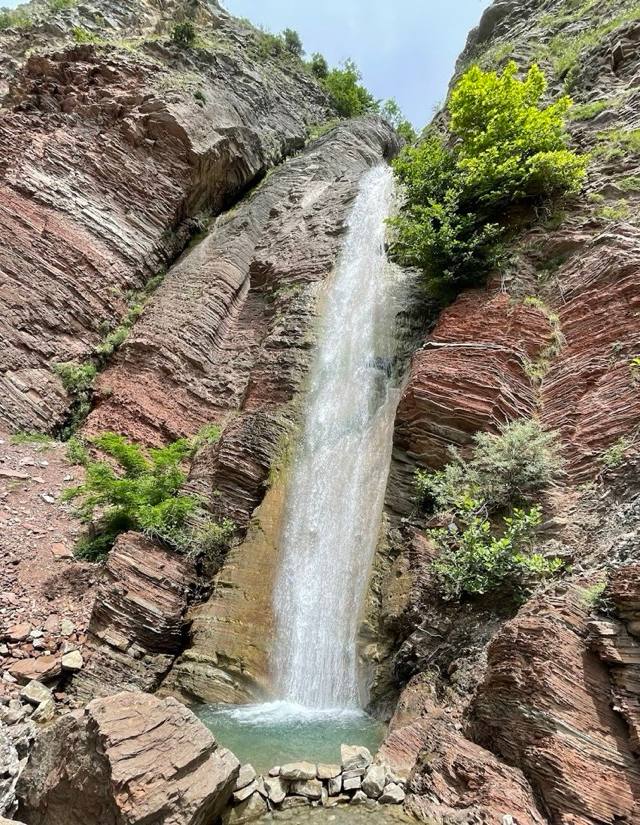 Shëngjin
Katund i Vjetër – Kisha e Shën Gjergjit- Erzë (SH-MR-002)
Route SH-MR-002 is one of the marked trails threading the hills behind Shëngjin, climbing away from the Adriatic to the abandoned stone houses of Katund i Vjetër and on to the small church of Shën Gjergji near Erzë. It's a walk about layers of Albanian history rather than sea views — a ruined village, a whitewashed chapel, a quiet farming hamlet, each marking a different stretch of the region's story. The route number and waymarking come from a regional trail-mapping effort, so signage is unusually reliable. Expect gentle, rolling terrain, not a serious climb.
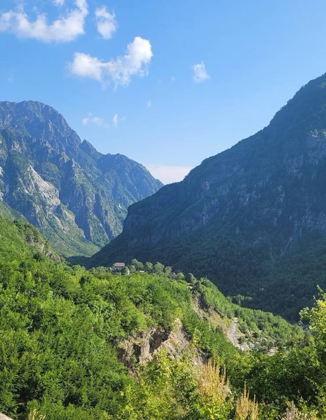 Theth
Dangerous old wooden bridge
Every Theth hiker eventually crosses this bridge, and takes a photo of it first — a narrow span of grey, weathered planks slung over the river with a wobble that earned the crossing its blunt name. It's sturdier than it looks, but the boards shift underfoot and there's no real rail, so it's not the place to check your phone. Approach and departure are easy walking through pasture and riverside scrub, which keeps the overall difficulty moderate. Go early for the bridge to yourself before the day's groups arrive from the village.
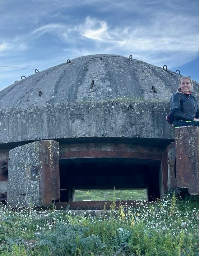 Gjirokastër
Hiking trail to the bunkers at Mt. Melesin
This trail climbs Mount Melesin above Gjirokastër toward a cluster of Cold War-era bunkers, part of the thousands Enver Hoxha's regime scattered across Albania, and the ones up here still stare out from the hillside over the Drino valley much as they did decades ago. The pull is really the view from the top: Gjirokastër's stone old town and its hilltop castle laid out below, with the valley stretching toward the mountains beyond. No official difficulty is listed, but expect a genuine climb rather than a stroll, and plan for it between May and October when the path is dry and clear.
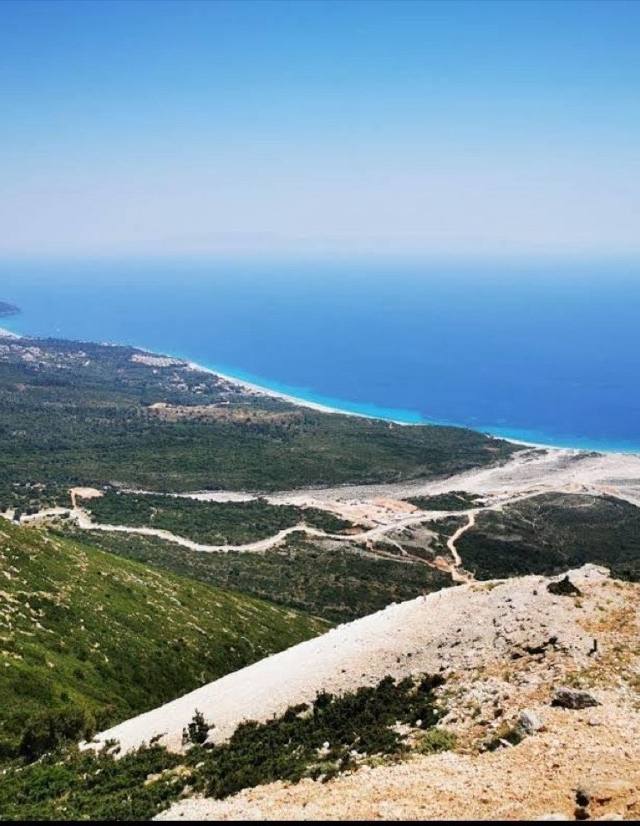 Vlorë
Vlore - Orikum path
The path between Vlorë and Orikum traces the curve of the bay south toward the foot of the Llogara pass, with the Karaburun peninsula visible across the water for most of the walk. It passes close to the ruins of ancient Oricum, though the trail itself is a coastal walk rather than an archaeological tour, moderate mostly because of its length and sun exposure rather than any technical difficulty. May through October is the comfortable window; in high summer, shade is scarce along most of the route.
 Valbonë
Markaj - Curraj i Poshtëm - Curraj i Epërm - Theth
At 35.5 kilometres, this is one of the longer multi-day treks out of Valbonë, stringing together three highland settlements, Markaj, Curraj i Poshtëm and Curraj i Epërm, before dropping into Theth on the far side of the range. All three villages emptied out decades ago as families moved down to easier ground, so much of the route passes through abandoned stone hamlets rather than working farms, giving the walk a haunting, historic weight beyond the scenery. This isn't a route to attempt without planning: expect multiple days, limited resupply, and a real need for a tent or arranged accommodation along the way.
 Tirana
Micekut te Shemerise
Micekut te Shemerise is a hill route in the Tirana hinterland, well outside the usual sightseeing radius, so it draws far more local weekend walkers than international visitors. The moderate grading fits terrain that's neither flat nor technical: enough climbing to feel like a proper outing, without needing mountaineering experience, through countryside that shifts from farmland to scrubby hillside as you gain height. May to October is the sensible window, and going with a local contact or a downloaded track is worthwhile, since this isn't a route with much English-language signage.
 Theth
Theth - Qafë Pejë - Nikç - Vukël - Lëpushë
At 40.7 kilometres, this is one of the longest classic traverses in the Albanian Alps, leaving Theth to climb Qafë Pejë before dropping through the villages of Nikç and Vukël on the way to Lëpushë, deep in the Kelmend highlands near the Montenegrin border. It's typically walked over two or three days rather than one, with homestays in the villages along the way offering a real look at highland life that a day hike from Theth never quite reaches. The full traverse runs May to October, and the pass itself can hold snow into early June, so it's worth checking conditions before setting a start date.
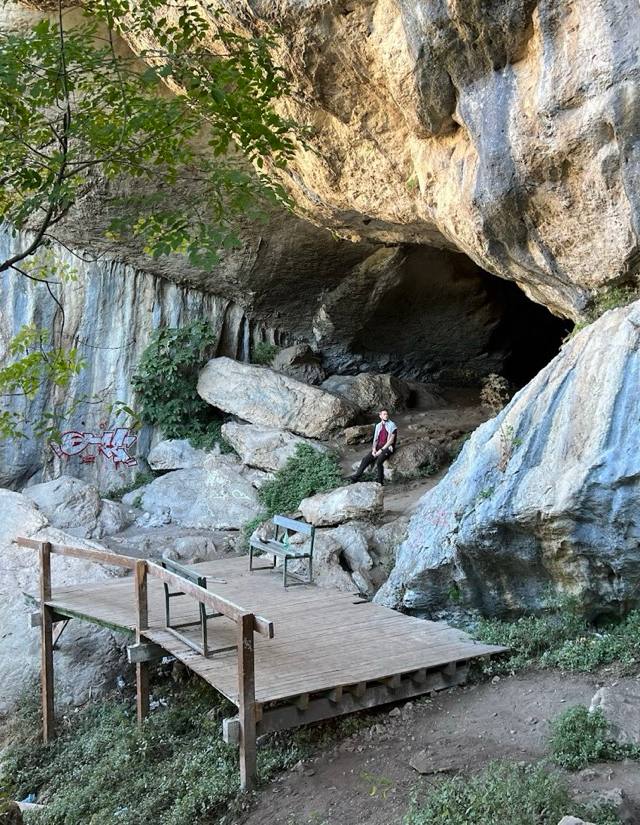 Valbonë
Shpella e Zeze
Shpella e Zezë — the Black Cave — is one of the tougher routes out of Valbonë, climbing through dense forest and loose scree toward a dark limestone cavity cut into the mountainside. This is not a warm-up hike: expect scrambling sections, exposed rock, and a real need for sturdy boots, trekking poles and a headlamp if you plan to go inside. Guides in the valley generally recommend it only to walkers with prior mountain experience, and even then only between May and October, once winter ice has cleared from the upper approach.
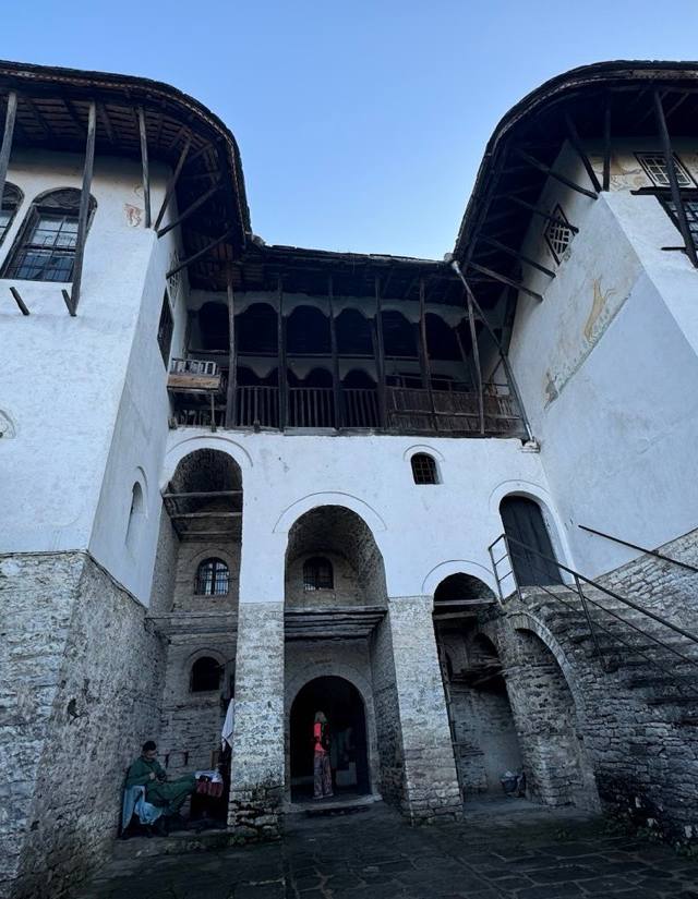 Gjirokastër
Hiking trail Leskovik-Sarandapor (historic route)
This is a walk with more history behind it than most Albanian trails admit to — an old route linking Leskovik to Sarandapor that once carried people and goods across the country's inland border hills long before any road did the same job. Little of that history is signposted; what you actually experience is quiet farmland, oak scrub, and remote hill villages that rarely see outside visitors. It's catalogued here under the wider Gjirokastër region, though the walking feels far removed from the city's stone streets. Go with a downloaded map, since waymarking here tends to be sparse.
 Vermosh
Katun Road Borderline Heights
Vermosh sits at the very top of Albania, close enough to Montenegro that this old katun road — the track shepherds once drove their flocks along between summer pastures — brushes right against the border ridgeline. Walking it feels less like a designated hiking trail and more like following a working route used for generations, past stone huts still stocked for the grazing season. The border itself isn't marked dramatically, just a shift in the grass and an occasional boundary stone, easy to miss if you're not paying attention. Come for the pastoral quiet as much as any view.
 Tirana
Dajti Ridge
A cable car lifts Tirana residents straight out of the traffic and onto this ridge above the capital, where the walk itself runs through pine forest with the city laid out on one side and, on a clear day, a pale line of the Adriatic on the other. It's rated moderate rather than easy — the ridge has real climbs — but it's the closest thing Tirana has to an after-work mountain escape, and weekends bring families as much as serious hikers.
Plan your trip
Everything you need to get here and get around — vetted partners, booked in a tap.
Book your Albania adventure today
Tours, activities and hotels — all with free cancellation and best-price guarantee. Book now, pay later.
Guided Tours
Day trips, boat tours, food walks and hidden gems in Albania. Skip the line, book ahead.
Browse tours on ViatorTop Activities
Water sports, wine tasting, cooking classes and local experiences in Albania.
Explore on GetYourGuideBook Your Hotel
Compare prices from Booking.com, Airbnb, Hotels.com & VRBO on one map.
Find your perfect stayAffiliate links — we earn a commission at no extra cost to you. This helps keep myAlbania.online free.
Explore more in Albania
Travel guides & tips
All articles →
Common questions about hiking trails
Can I hike the Theth–Valbona trail solo?
Yes — the trail is well-marked with red and white blazes, and there's usually a steady stream of hikers in summer. Carry 2 L of water, snacks, and proper boots. Phone signal disappears for stretches, so download offline maps (Maps.me or AllTrails). Local guides cost €30–50 if you want company or insight.
When does the hiking season open and close?
Mid-June to mid-October is the realistic alpine window — earlier and snow can block the high passes; later and storms become common. Lower coastal cliff trails (Llogara, Riviera coast) are walkable April–November. Always check local conditions before heading above 1,800 m.
How are difficulty levels graded?
We use the standard Swiss Alpine Club scale: easy (T1, casual walking), moderate (T2, longer days, fitness needed), hard (T3, exposed sections, sure-footedness), expert (T4+, alpine experience and gear). Most travellers manage moderate trails comfortably.