
Hiking Trails
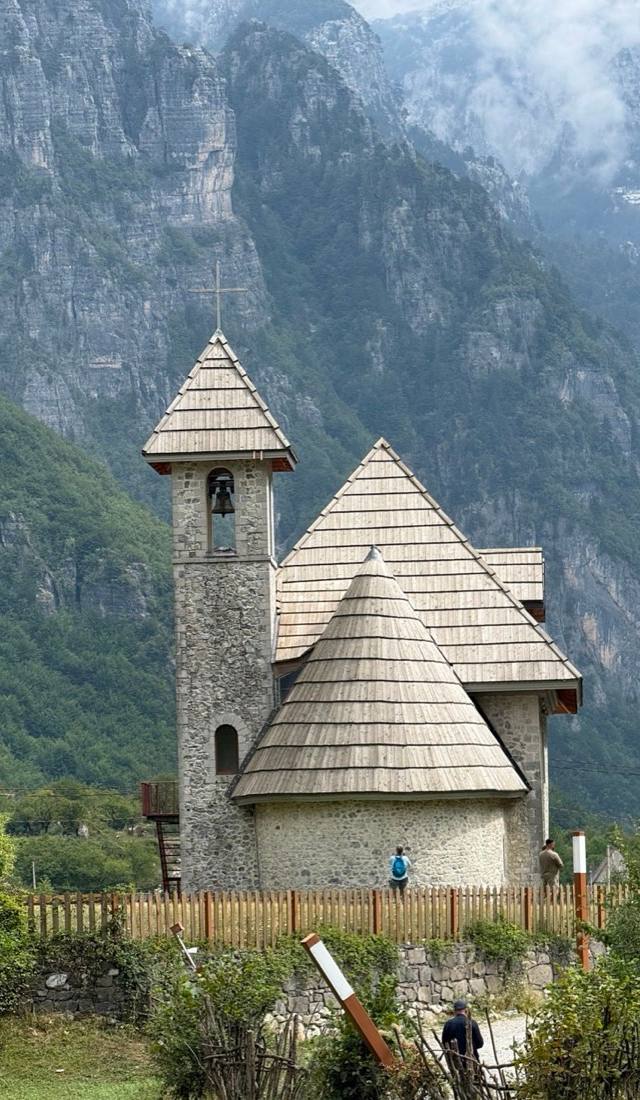 Valbonë
Theth-Curraj marked trail extension towards Maja e Boshit
This waymarked spur breaks off the main Theth–Curraj traverse and climbs into the limestone folds below Maja e Boshit, one of the sharper peaks ringing the Valbona valley. Markers stay legible even where the path narrows to a shepherd's track, but the elevation gain adds up fast, so most walkers treat it as a full day from Valbonë rather than a quick add-on. Snow can linger in the gullies into early June, making June–September the safer window. Carry more water than seems necessary — there's no spring once you leave the valley floor.
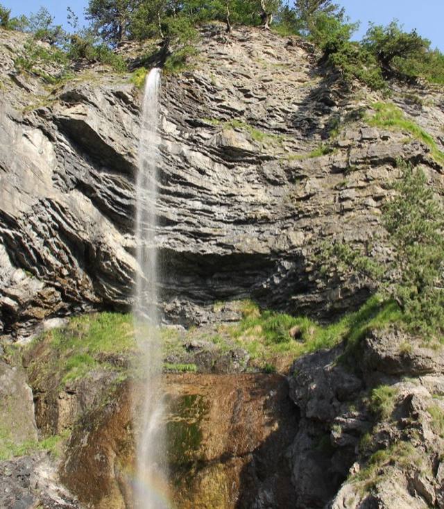 Valbonë
Curraj i Eperm - Qerec
The path between Curraj i Epërm and Qerec links two of the half-abandoned highland hamlets scattered above Valbonë, in the heart of the Albanian Alps' national park. Stone houses with slate roofs, many now used only in summer by families who return to graze livestock, punctuate a route that climbs through beech forest before opening onto bare ridgeline. There's no crowd here and no facilities either, so carry water and expect a full day's effort. Snowmelt and reliable trail conditions generally hold from May into October.
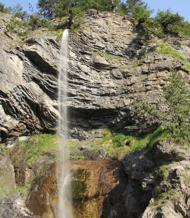 Valbonë
Curraj i Eperm water spring - Querec Mulaj
Tucked deep in the Nikaj-Mërtur highlands near Valbonë, the Curraj i Epërm water spring rewards only those willing to walk for it — the village sits at the end of a long, rough track through some of Albania's most isolated mountain country. The spring runs cold and clear year-round, a reliable stop for hikers crossing this semi-abandoned corner of the Accursed Mountains. Expect near-total silence, stone houses slowly returning to the landscape, and scenery that feels centuries removed from the coast. Come prepared: no shops, no signal, and the last stretch is best done on foot or by 4x4.
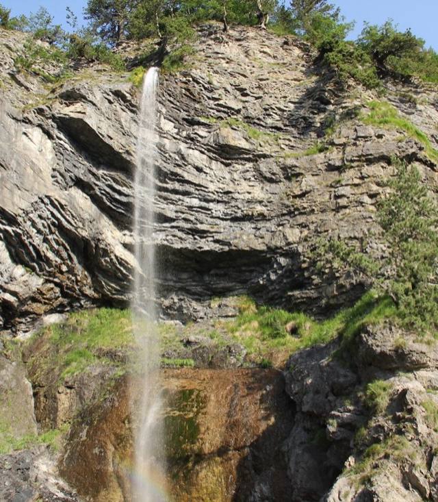 Valbonë
Qerec - Dragobi
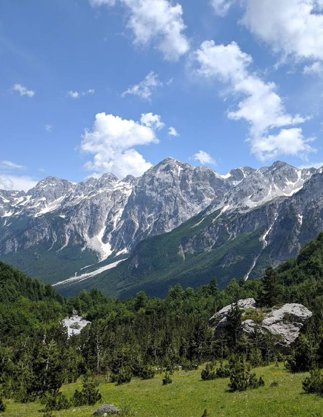
Qerec to Dragobi follows the Valbona river valley, linking a high summer hamlet with Dragobi, one of the villages that anchors the Peaks of the Balkans network in the Albanian Alps. The path stays lower than most Valbonë routes, tracing forest edge and riverbank rather than exposed ridgeline, which makes it a reasonable choice for walkers who want mountain scenery without a full alpine effort. Still budget for a long day on foot rather than a quick loop. Snow at higher elevations usually clears enough to walk comfortably between May and October.
 Valbonë
Zla Kolata
Zla Kolata is one of the highest summits in the Accursed Mountains, straddling the Albania–Montenegro border above Valbonë, and reaching it is a proper alpine day rather than a walk. Loose rock and exposed sections near the top mean it's for hikers who already have scrambling experience, ideally with a local guide who knows the border terrain. The payoff is a summit view that takes in Montenegro's Prokletije peaks as well as Albania's.
 Valbonë
Markaj - Curraj i Poshtëm - Curraj i Epërm - Theth
At 35.5 kilometres, this is one of the longer multi-day treks out of Valbonë, stringing together three highland settlements, Markaj, Curraj i Poshtëm and Curraj i Epërm, before dropping into Theth on the far side of the range. All three villages emptied out decades ago as families moved down to easier ground, so much of the route passes through abandoned stone hamlets rather than working farms, giving the walk a haunting, historic weight beyond the scenery. This isn't a route to attempt without planning: expect multiple days, limited resupply, and a real need for a tent or arranged accommodation along the way.
 Valbonë
Curraj i Eperm - Lumi e Plans (Shpella Lumit)
This is the Lumi i Plans route with a detour built in — the same moderate riverside walk out of Curraj i Epërm, extended to take in Shpella e Lumit, the cave carved where the river runs underground for a stretch. It's an easy addition in effort, mostly flat riverbank walking, though the cave mouth can be slick and is worth a headlamp if you plan to go in rather than just look. Between the water sound, the cave, and the stone hamlets on the way, it packs more variety into a moderate outing than most trails around Valbonë manage.
 Valbonë
Shpella e Zeze
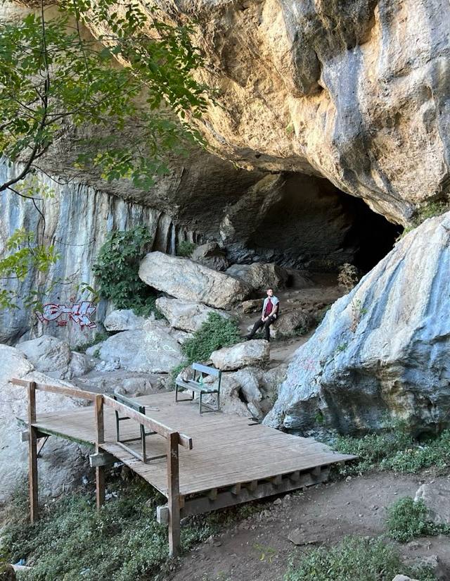
Shpella e Zezë — the Black Cave — is one of the tougher routes out of Valbonë, climbing through dense forest and loose scree toward a dark limestone cavity cut into the mountainside. This is not a warm-up hike: expect scrambling sections, exposed rock, and a real need for sturdy boots, trekking poles and a headlamp if you plan to go inside. Guides in the valley generally recommend it only to walkers with prior mountain experience, and even then only between May and October, once winter ice has cleared from the upper approach.
 Valbonë
Peaks of the Balkans
Valbonë is one of the trailheads for Peaks of the Balkans, the 179-kilometre trans-border route that stitches together mountain villages in Albania, Montenegro and Kosovo through the Prokletije range. Most people walk it in stages over a week or more, overnighting in guesthouses and mountain huts rather than camping. Border-crossing points along the way require permits arranged in advance, so this is a trip to plan, not to improvise from Valbonë's trailhead alone.
 Valbonë
Theth-Curraj trail extension towards Maja e Boshit
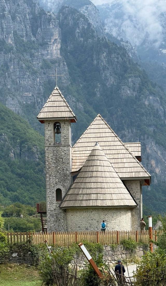
Where the marked spur toward Maja e Boshit eventually turns back, this harder extension keeps going — a rougher, thinner continuation of the Theth–Curraj traverse that trades reliable waymarking for a more direct line up the mountain. Loose rock and steep, exposed sections make it a genuine step up in difficulty, closer to scrambling than walking in places. Best attempted with someone who's done it before, or at minimum a downloaded track, since the markers guiding the lower path largely give out here. Save it for a settled weather window.
 Valbonë
Iballe - Fierze
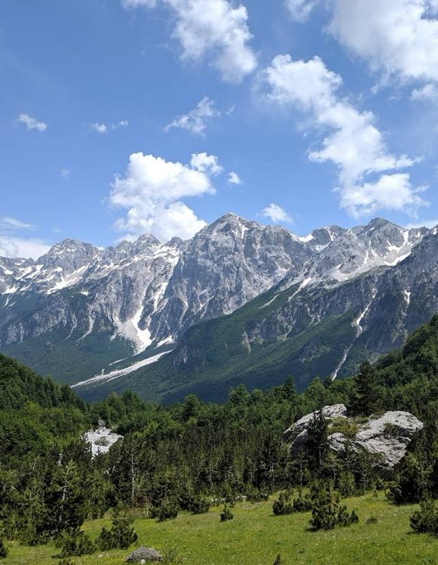
Iballe to Fierzë drops out of the high Alps toward the reservoir that gives the Komani ferry route its name, which explains why it's graded easy next to the passes further up the valley. Expect forest track and farmland rather than exposed ridge walking, with the lake opening up gradually rather than all at once. It's a reasonable half-day for anyone based in Valbonë who wants Alpine scenery without the scree and switchbacks of the harder crossings, walkable May to October.
 Valbonë
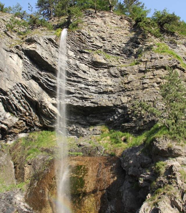
Curraj i Epërm-Curraj Poshtëm
Curraj i Epërm and Curraj i Poshtëm are two of the most remote hamlets reachable from Valbonë, upper and lower settlements that clung on through decades of depopulation and still have only a handful of year-round residents. The route between them is rated moderate, following old herding paths rather than a graded trail, and phone signal disappears well before you arrive. It's less a hike than a look at how isolated life in the Albanian Alps still gets.
 Valbonë
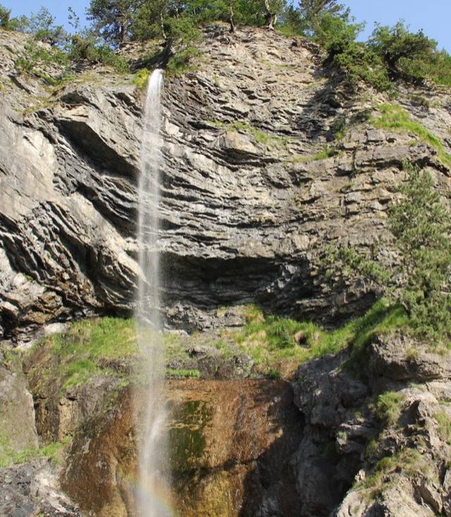
Qereç - Dragobi
Qereç to Dragobi follows the Valbonë valley floor before climbing toward one of its more traditional hamlets, the kind of village where guesthouses still outnumber anything resembling a shop. The peaks that give this stretch of the Alps its reputation — grey, sheer, close enough to feel over your shoulder — frame most of the walk rather than appearing only at some final summit. Locals keep to it May through October, after the spring melt and before the first proper snow closes the valley's upper paths.
 Valbonë
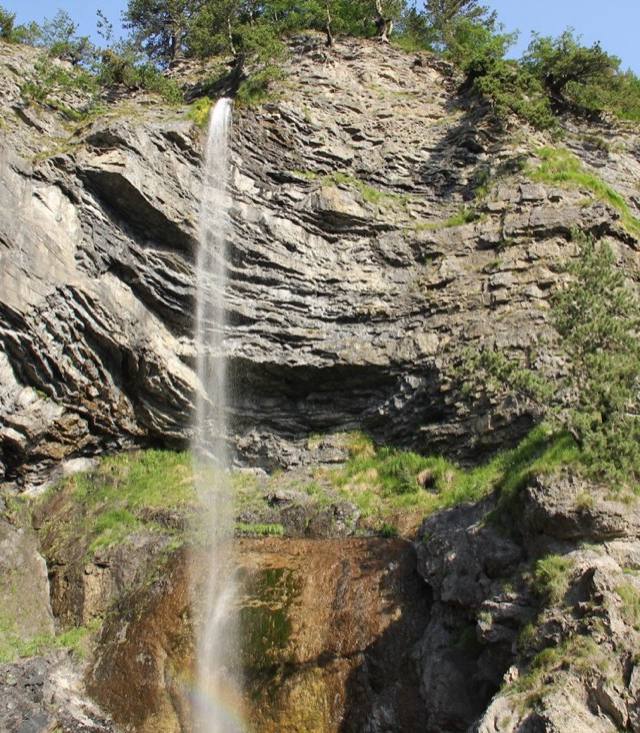
Curraj i Epërm - Qerec Mulaj
Curraj i Epërm is the kind of place that shows up in Albanian news stories about the last families holding on in the highlands, and this route toward Qerec Mulaj is how you reach it on foot, past stone-walled hamlets and terraced pasture above the Nikaj-Mërtur valleys. The grade stays moderate throughout — no scrambling, just a steady, worn track — a realistic option for hikers wanting real remoteness without technical difficulty. Expect grazing sheep more often than other walkers; locals in the scattered farmhouses usually point out the way if markers thin out.
 Valbonë
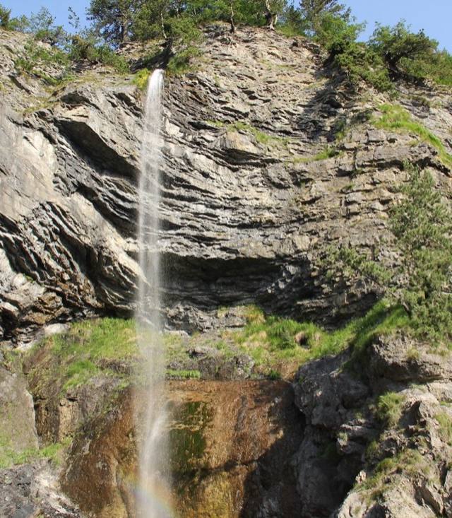
Curraj i Epërm - Qereç
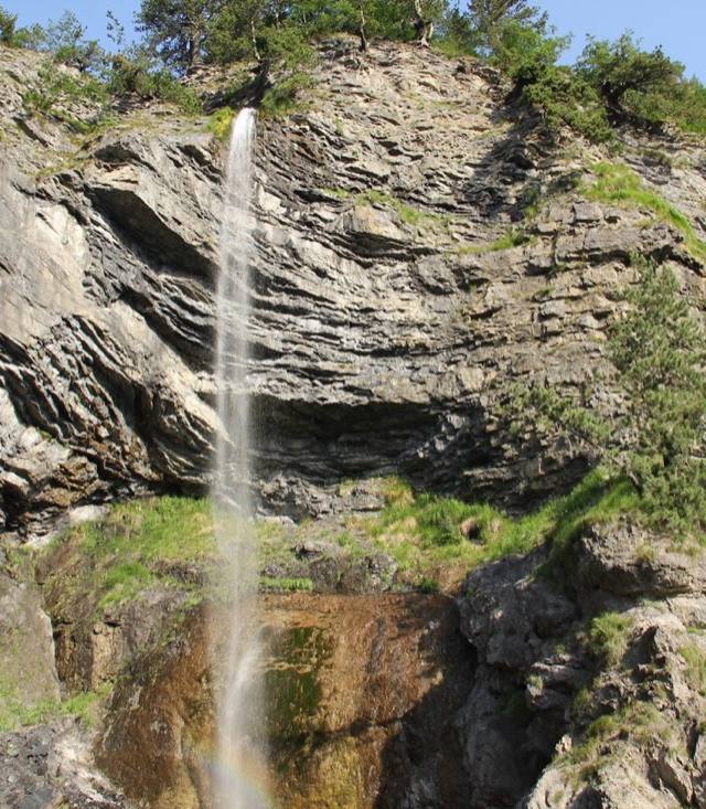
This route links Qereç with Curraj i Epërm, one of the emptied highland settlements of the Tropojë highlands above Valbonë, a place that held out as one of Albania's most isolated villages long after most families had moved down to the valley. The walking itself is moderate rather than technical, but the reward is atmospheric: stone houses standing roofless among the pastures, and a silence broken mostly by sheep bells. Plan for a full day out and back given the distance from Valbonë, and aim for the May-to-October window, since the higher stretches hold snow well into spring.
 Valbonë
Curraj i Epërm - Vranë
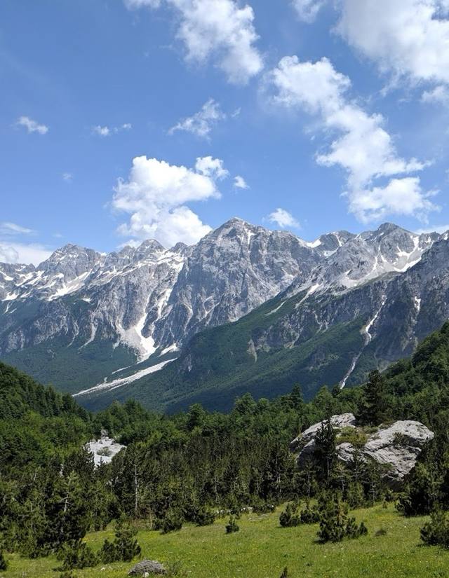
Curraj i Epërm to Vranë threads between two remote highland settlements above Valbonë, following shepherd paths that predate any marked trail signage in the Albanian Alps. Expect long stretches of forest and open pasture with almost no other walkers, plus the kind of silence that makes the region popular with serious trekkers rather than day-trippers. It demands stamina more than technical skill, so budget a full day and carry your own water and food. The reliable window runs May to October, before autumn weather closes in on the high ground.
 Valbonë
Curraj i Epërm - Lumi e Plans
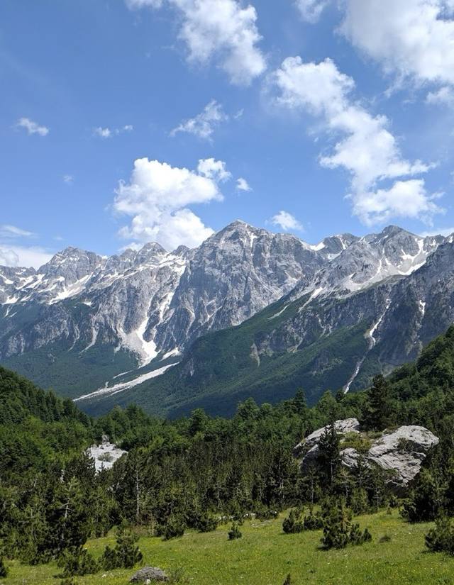
From Curraj i Epërm, this moderate route drops toward Lumi i Plans, the river carving through the valley below the hamlet's scattered stone houses — trading the exposed ridgelines of the higher Alps routes for shaded riverbank and pasture. It's an easier, gentler counterpart to the trails climbing toward the peaks, a sensible add-on for anyone already based around Curraj i Epërm rather than a destination in its own right. The river runs clear and cold most of the season, its sound a constant companion once you're within earshot, and good footing suits a wider range of walkers.
 Valbonë
Gjeravicë-Sylbicë
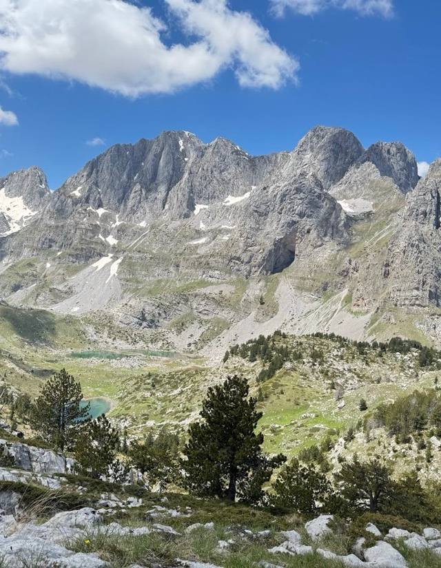
Gjeravica is the highest summit in this stretch of the Accursed Mountains, and the route out of Sylbicë toward it is unambiguously expert terrain — a long approach, serious elevation gain, and stretches where the path all but disappears into scree and rock. This isn't a first Alps hike; it sits closer to alpine mountaineering than walking, with weather that can turn fast even in midsummer. Anyone attempting it should already navigate off clear waymarking and carry proper gear, not just trail shoes. On a clear day, the payoff is among the widest views in the Albanian Alps.
 Valbonë
Route to "Maja Jezerces"
This is the approach to Maja Jezercë, at roughly 2,694 metres the highest summit in the Albanian Alps, and the route out of Valbonë reflects that ambition — forest track giving way to open scree and a long ridge walk. It's graded moderate for the approach sections, but reaching the true summit is a mountaineering objective rather than a day hike, and most visitors treat this as a there-and-back to the high pastures. Weather turns fast above the treeline, so the May-to-October season is about avoiding snow. Guides based in Valbonë village still lead full ascents.
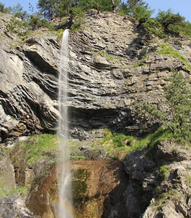 Valbonë
Theth - Qereç - Curraj i Eperm
Fewer hikers take this line than the popular Theth-Valbonë crossing, which is exactly its appeal: a quieter traverse through Qereç's scattered hamlets to Curraj i Epërm, one of the more isolated settlements in the Albanian Alps, still reached mainly on foot. The path drops through beech forest and grazing terraces between ridgelines, passing stone farmhouses that empty out once winter snow closes the valley. Moderate grading fits confident walkers rather than beginners — route-finding matters more here than on marked tourist trails. Late spring through early autumn is the realistic window.
Plan your trip
Everything you need to get here and get around — vetted partners, booked in a tap.
Book your Albania adventure today
Tours, activities and hotels — all with free cancellation and best-price guarantee. Book now, pay later.
Guided Tours
Day trips, boat tours, food walks and hidden gems in Albania. Skip the line, book ahead.
Browse tours on ViatorTop Activities
Water sports, wine tasting, cooking classes and local experiences in Albania.
Explore on GetYourGuideBook Your Hotel
Compare prices from Booking.com, Airbnb, Hotels.com & VRBO on one map.
Find your perfect stayAffiliate links — we earn a commission at no extra cost to you. This helps keep myAlbania.online free.
Explore more in Albania
Travel guides & tips
All articles →
Common questions about hiking trails
Can I hike the Theth–Valbona trail solo?
Yes — the trail is well-marked with red and white blazes, and there's usually a steady stream of hikers in summer. Carry 2 L of water, snacks, and proper boots. Phone signal disappears for stretches, so download offline maps (Maps.me or AllTrails). Local guides cost €30–50 if you want company or insight.
When does the hiking season open and close?
Mid-June to mid-October is the realistic alpine window — earlier and snow can block the high passes; later and storms become common. Lower coastal cliff trails (Llogara, Riviera coast) are walkable April–November. Always check local conditions before heading above 1,800 m.
How are difficulty levels graded?
We use the standard Swiss Alpine Club scale: easy (T1, casual walking), moderate (T2, longer days, fitness needed), hard (T3, exposed sections, sure-footedness), expert (T4+, alpine experience and gear). Most travellers manage moderate trails comfortably.